
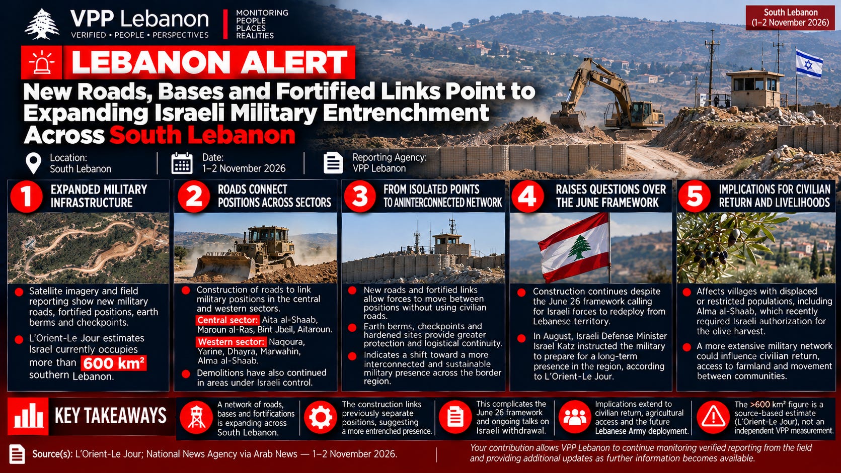
Satellite imagery and field reporting indicate that Israeli forces are expanding a network of military roads, fortified positions, earth berms and checkpoints across occupied areas of South Lebanon, increasingly connecting previously separate positions in the western and central sectors.
An investigation by L’Orient-Le Jour, based on dozens of satellite images and multiple sources, documented the construction of new military infrastructure that it said points toward a potentially longer-term Israeli military presence. The investigation estimates that Israel currently occupies more than 600 square kilometers of southern Lebanon.
Roads Connect Positions Across Central and Western Sectors
Lebanese state media reporting separately described Israeli forces building roads through mountainous and valley terrain to connect military positions.
The reported construction extends across the central sector around:
Aita al-Shaab
Maroun al-Ras
Bint Jbeil
Aitaroun
In the western sector, activity was reported around:
Naqoura
Yarine
Dhayra
Marwahin
Alma al-Shaab
Demolition activity has also continued within areas under Israeli military control.
From Individual Positions to an Interconnected Military Network
The significance of the construction lies not simply in the presence of additional roads.
Military roads and fortified links can allow forces to move between positions without relying on existing civilian road networks, while earth berms, checkpoints and hardened positions can provide greater protection and logistical continuity.
Taken together, the infrastructure described in the satellite investigation suggests an effort to transform dispersed military positions into a more interconnected operational network extending across substantial sections of the border region.
The reported works are particularly significant around communities such as Alma al-Shaab, Marwahin, Dhayra, Aita al-Shaab and Aitaroun, where questions of civilian return, agricultural access and territorial control remain unresolved.
Long-Term Presence Raises Questions Over June Framework
The reported construction comes despite the June 26 framework calling for Israeli forces to redeploy out of Lebanese territory alongside implementation of Lebanese security commitments.
In August, Israeli Defense Minister Israel Katz publicly instructed the military to prepare for what he described as a long-term presence in the region, according to the L’Orient-Le Jour investigation.
The continued construction of military roads and fortified links therefore adds a physical dimension to the wider diplomatic dispute over Israeli withdrawal.
While negotiations have focused on sequencing, verification and Lebanese Army deployment, infrastructure being constructed on the ground could make the Israeli military presence more durable and operationally sustainable.
Civilian Return and Border Communities
The implications extend beyond military positioning.
Several of the areas identified in the reporting lie around villages whose residents are displaced, partially displaced or facing restricted access to homes and farmland.
Alma al-Shaab, for example, has recently required coordinated Israeli authorization for residents to access the village for the olive harvest.
A more extensive network of military positions, roads and controlled corridors could therefore affect not only future military arrangements but also where civilians can return, which agricultural areas they can access and how communities reconnect with neighboring villages.
What This Signals
The emerging picture suggests a shift from temporary or isolated military positions toward greater physical entrenchment across Israeli-held areas of South Lebanon.
The reported road network is particularly important because it can connect military positions that previously operated as separate points, potentially creating a more continuous and defensible zone.
This development also complicates ongoing diplomacy. The central issue is increasingly not only whether Israel maintains individual positions inside Lebanon, but whether a larger military infrastructure is being constructed that could make withdrawal more difficult and reshape movement across the southern border region.
The territorial scale should remain source-attributed. The L’Orient-Le Jour investigation reports Israeli control of more than 600 km²; this is a source-derived estimate rather than an independent VPP geospatial measurement.
For communities located within or adjacent to these areas, the consequences are immediate: military entrenchment, civilian return, agricultural access and the future deployment of the Lebanese Army are increasingly becoming parts of the same territorial question.
Source(s): L’Orient-Le Jour satellite-imagery investigation; National News Agency reporting via Arab News — 1 November 2026.
Full articles / sources:
Arab News — Israeli army building roads to link military posts in southern Lebanon